Proposed Modifications to Policy Maps
1. Modifications to Chapter 7 - Strategic Allocations
The following maps illustrate the proposed modifications being made to strategic allocations as they appear on the Policies Map.
Modifications to Proposed Strategic Allocations
PM1
Site
SA1: North of Luton
Proposed Modification
Site boundary to be amended to follow the boundary of the M1-A6 Link Road to the east, and to also identify the eastern bowl area of the site
Inset Map Location
Sundon
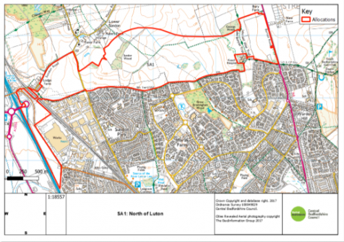
As submitted
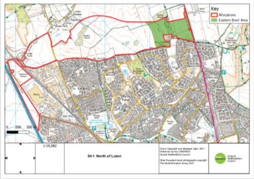
Proposed modification
PM2
Site
SA2: Marston Vale New Villages
Proposed Modification
Site boundary to be updated to remove a small, triangular parcel of land adjacent to Brogborough village.
Inset Map Location
Lidlington
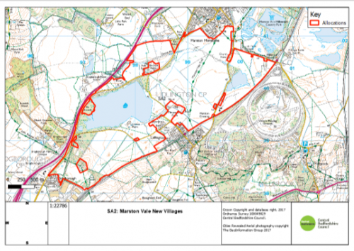
As submitted
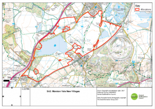
Proposed Modification
PM3
Site
SE2: Marston Gate Expansion
Proposed Modification
Site boundary to be updated to remove rising ground to the north of the site.
Inset Map Location
Marston Moretaine
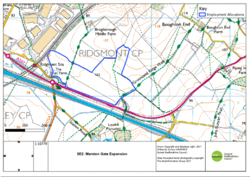
As submitted
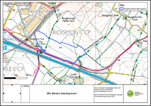
Proposed Modification
PM4
Site
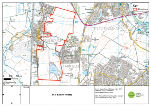
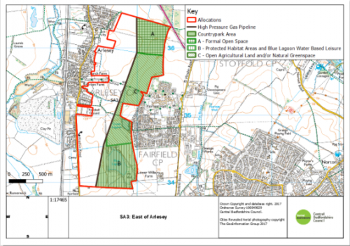
SA3: East of Arlesey
Proposed Modification
Site plan updated to reflect area that must be retained as open agricultural land and areas that shall be used for leisure and/ or sports provision.
Inset Map Location
Brogborough
PM5
Site
SA4: East of Biggleswade
Proposed Modification
Site plan updated to show the potential access points.
Inset Map Location
Biggleswade
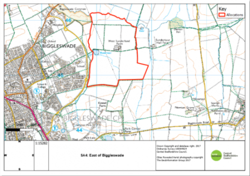
As submitted
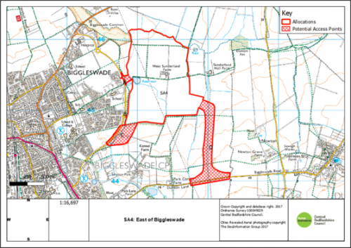
Proposed Modification
PM6
Site
SE3: Holme Farm
Proposed Modification
Site boundary to be updated to provide a
more comprehensive and cohesive site boundary and improve sustainable access to the site.
Inset Map Location
Arlesey
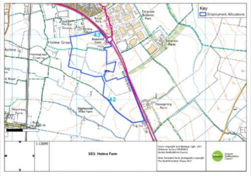
As submitted
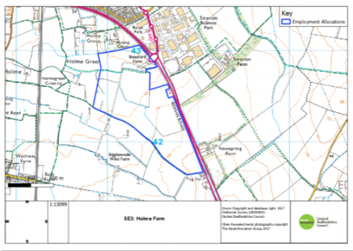
Proposed modification
PM7
Site
SE4: RAF Henlow
Proposed Modification
Strategic employment allocation to be removed from list of allocations and moved to list of EMP5 site designations. (see Mod PM49 also)
Inset Map Location
Biggleswade
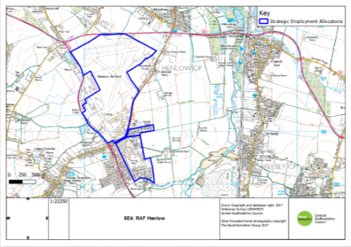
As submitted
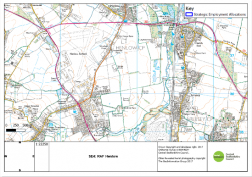
Proposed Modification
