Proposed Modifications to Policy Maps
6. Modifications to Policy Maps – Town Centre Boundaries
The following maps illustrate the proposed modifications being made to the Town Centre Boundaries as they appear on the Policies Map.
Modifications to Policy Maps – Town Centre Boundaries
PM41
Site
Ampthill
Proposed Modification
Modification to Town Centre Boundary
Inset Map Location
Ampthill
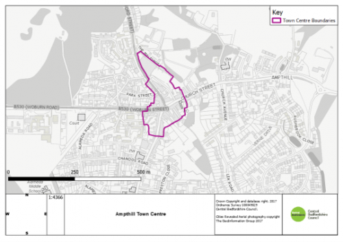
As Submitted
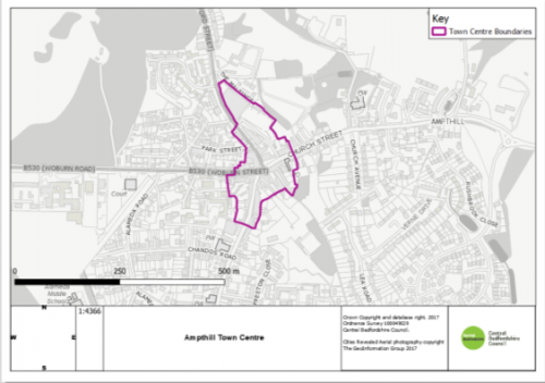
Proposed Modification
PM42
Site
Biggleswade
Proposed Modification
Modification to Town Centre Boundary and addition of Primary Shopping Area.
Inset Map Location
Biggleswade
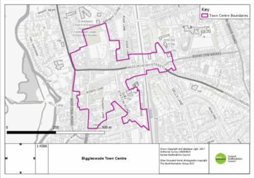
As Submitted
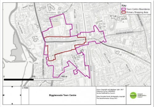
Proposed Modification
PM43
Site
Dunstable
Proposed Modification
Modification to Town Centre Boundary and addition of Primary Shopping Area.
Inset Map Location
Dunstable
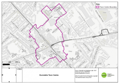
As Submitted
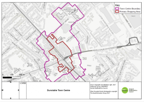
Proposed Modification
PM44
Site
Flitwick
Proposed Modification
Modification to Town Centre Boundary
Inset Map Location
Flitwick
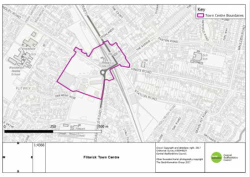
As Submitted
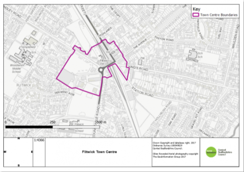
Proposed Modification
PM45
Site
Leighton Linslade
Proposed Modification
Modification to Town Centre Boundary and addition of Primary Shopping Area.
Inset Map Location
Leighton Linslade
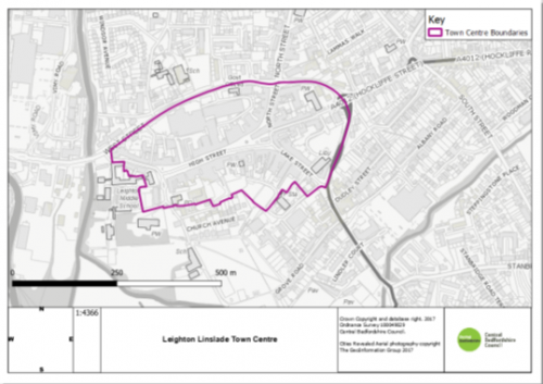
As Submitted
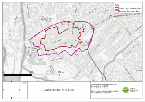
Proposed Modification
PM46
Site
Sandy
Proposed Modification
Modification to Town Centre Boundary
Inset Map Location
Sandy
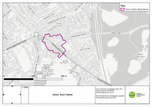
As Submitted
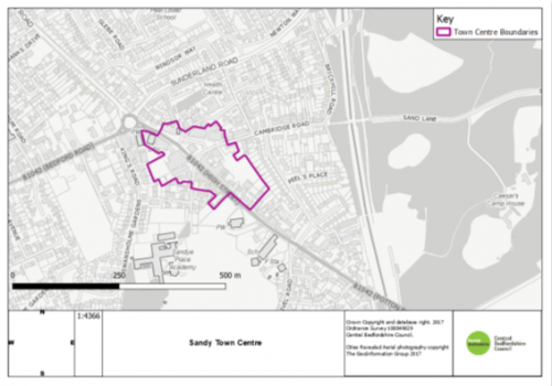
Proposed Modification


